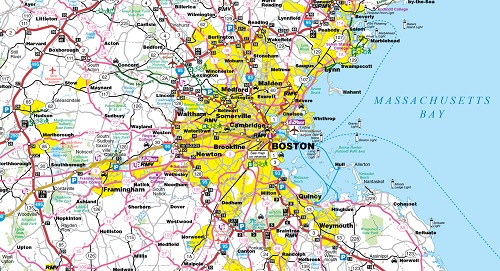
Whether you’re walking, driving, or taking the train, it’s never been easier to get around the Commonwealth thanks to the newest Official Massachusetts Transportation map. Both long-time Bay Staters and first time visitors can make use of the transportation and tourist information provided by this easy-to-read resource.

An update to the previous 2012 version, the new map depicts ten additional shared use paths and the latest MBTA Commuter Rail and Rapid Transit map. Thirty-seven points of interest are also highlighted in the Downtown Boston area, from the Museum of Science to the TD Garden.
Digital versions of the map, available in four languages, can be found on the Official Massachusetts Transportation Map webpage (https://www.massdot.state.ma.us
You may request a free print copy of the map through the aforementioned webpage.
